Minnesota is bracing for another round of severe weather, including a heightened risk of flash flooding and damaging winds, as thunderstorms move through the region on Wednesday afternoon and evening. The National Weather Service has issued a flash flood warning in parts of the state, urging residents to take immediate precautions.
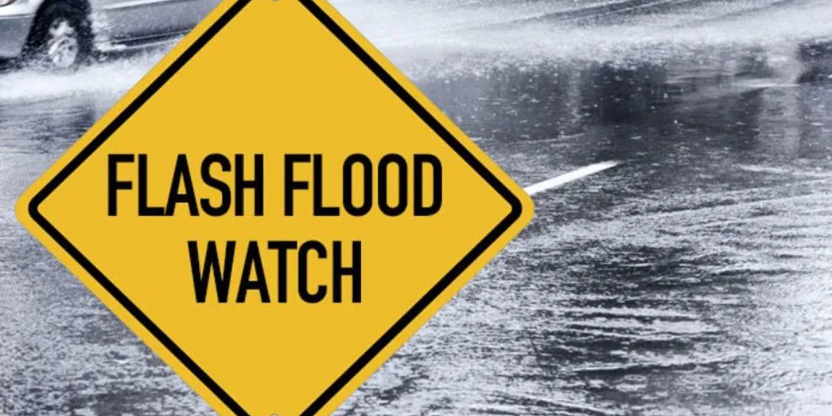
Flash Flood Safety Urged as Rainfall Totals Rise
Authorities are emphasizing the importance of staying put during a flash flood warning unless evacuation is absolutely necessary. The safest course of action is to remain in a dry, secure location until the storms have passed.
More than 90 percent of all flash flood deaths occur in vehicles, as water can rise rapidly in low-lying areas, parking lots, and drainage zones—many of which are typically dry. The risk becomes critical when drivers encounter floodwaters before recognizing the danger.

Residents in flood-prone areas or those noticing rising water levels should seek higher ground immediately. If evacuation is impossible, authorities advise calling 911 for assistance.
Where the Storms Are Hitting Hardest
A slight risk of severe weather exists across most of Minnesota, with the most intense storms expected south of the Twin Cities metro area. The National Weather Service warns of wind gusts between 60 and 70 miles per hour and the potential for hail.
Flash flooding remains a possibility with any thunderstorm that develops through Wednesday night. While widespread flooding is not expected, localized areas could experience dangerous conditions due to heavy rainfall.
Rainfall Totals So Far
Rainfall rates have exceeded 2 inches per hour in many cases, contributing to the flash flooding threat. Here are some key details-

- Northern Minnesota: 2 to 5 inches of rain have fallen in widespread areas
- North metro and St. Cloud: Several pockets have recorded over 2 inches
- Twin Cities metro: Rainfall has varied widely
- South metro: Only a few tenths of an inch
- Metro core: 1 to 2 inches
- North metro: More than 2 inches in some spots
Hot, Humid Weather to Follow
Once the storms clear out, forecasters expect a return to steamy summer conditions. Highs are forecasted to climb back into the 90s through the weekend, continuing a stretch of hot weather across the state.
Residents are advised to monitor local weather updates and heed all warnings from emergency management and meteorological services.