A surge of unusually dry air is pushing into Arizona from the west, driven by a rare low-pressure system off the coast of California. This dry pattern is atypical for the monsoon season and will have a noticeable impact on both humidity levels and temperatures.
During a typical monsoon, dew points in the Valley hover in the 50s and 60s. However, over the next few days, dew points are expected to drop into the 20s and 30s. This sharp decline in moisture will make the air feel much drier than usual for this time of year.
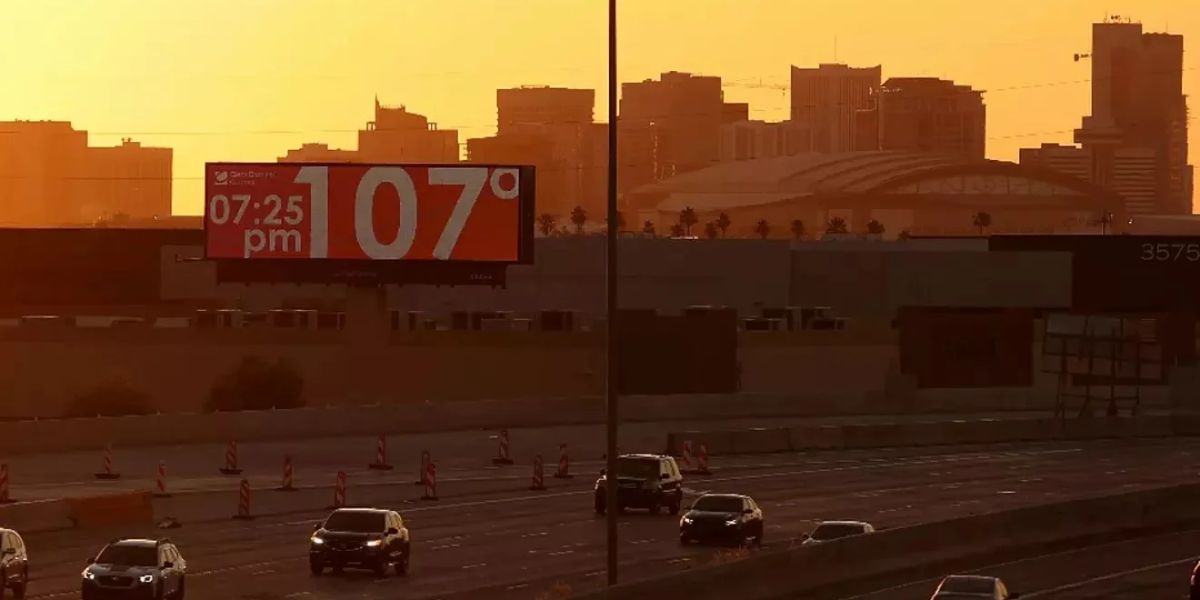
The decrease in humidity will also allow for a significant warm-up. Temperatures are expected to reach 104 to 106 degrees on Thursday and Friday—just below seasonal averages. By the weekend, highs could approach 110 degrees. While heat warnings are not currently in effect, forecasters say they could be issued depending on how conditions evolve.

Looking ahead, there is hope that monsoon moisture may return by the middle of next week. If so, most of the thunderstorm activity will likely be concentrated in eastern and southeastern parts of Arizona.
In the meantime, residents should prepare for very dry and increasingly hot conditions through the weekend.