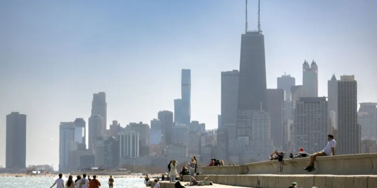
After a long stretch of warm weather, Chicago is experiencing its first day below 80°F since June 14. Temperatures this afternoon may hover in the upper 60s, particularly near the lake and in the northern portions of the metro area. Skies are expected to be partly to mostly cloudy, with any rain staying well south of the Chicagoland.
Friday promises a return to pleasant summer conditions with highs in the lower 80s and partly to mostly sunny skies.
Here’s a look ahead at what’s coming:

-
Saturday: Expect scattered showers and thunderstorms with highs in the low to mid 80s.
-
Sunday: Drier and more comfortable, with partly sunny skies and similar temperatures.
-
Next Week: A blast of summer heat moves in, bringing what could be the hottest stretch of the season.
-
Monday: Highs in the mid 80s

-
Tuesday: Highs in the low 90s
-
Wednesday onward: Highs climbing into the mid to upper 90s
-
Humidity will rise significantly during this period, potentially prompting heat advisories. While waves of thunderstorms could interrupt the heat and offer temporary relief, their timing remains uncertain.
Residents are advised to prepare for a potentially dangerous heat wave and stay updated with the latest forecasts.