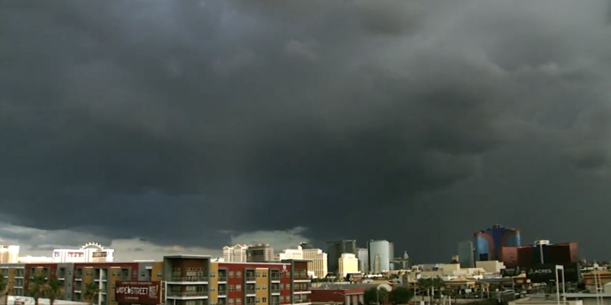
Showers and thunderstorms are expected to return to the forecast on Friday across Central and West Texas. The best chance for rain will be in the afternoon and evening, with the possibility of strong wind gusts, heavy downpours, and lightning. Temperatures will stay in the upper 90s due to increased cloud cover and scattered rainfall.
On Saturday, drier air will begin to move into the region, reducing rain chances but not eliminating the risk of gusty afternoon winds. Highs will climb to around 102°F, bringing back typical July heat for the region.
By Sunday and continuing through the first half of next week, rain chances will completely vanish. Highs will hover around 102°F — slightly below the seasonal average of 105°F — under mostly sunny skies.

Key Forecast Highlights for Central and West Texas:
- Friday: Scattered storms with gusty winds and lightning likely in the afternoon/evening; highs in the upper 90s.
- Saturday: Lower rain chances but breezy conditions possible; highs near 102°F.
- Sunday–Wednesday: Dry, hot conditions dominate with highs around 102°F and no rain in the forecast.
Residents are advised to stay weather-aware on Friday, especially in areas prone to brief localized flooding or damaging wind gusts.