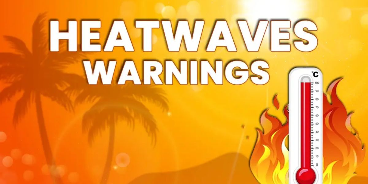
While Mississippi remains under the influence of high pressure, residents should prepare for a return of late-July-style heat. A mix of sun and clouds will send afternoon highs soaring into the mid-90s across much of the state. Humidity will drive “feels like” temperatures into the 105–110°F range, prompting the need for extra heat safety precautions.
Although the majority of the state will remain dry, a weak low-pressure system in the northern Gulf of Mexico may help trigger a few isolated downpours or thunderstorms, especially in southern parts of Mississippi.
Extended Forecast for Mississippi:
- Saturday: Overnight lows will dip into the 70s. Daytime highs will remain in the lower to mid-90s, but the presence of a weak low tracking westward through the northern Gulf may slightly ease the heat and bring a better chance for scattered storms.
- Sunday into Early Next Week: High pressure builds back over the region, reducing rain chances and pushing temperatures upward again. Highs will return to the upper 90s, with oppressive humidity levels.
- August Outlook: As the upper ridge begins to weaken and shift, Mississippi will likely return to a more typical summer pattern — hot, humid days with afternoon storm chances.
Heat Safety Tips for Mississippi Residents:
- Stay hydrated and avoid prolonged outdoor activity during peak heat hours (12–4 p.m.).
- Check on the elderly and those without access to air conditioning.
- Never leave children or pets unattended in vehicles.
- Dress in light, breathable clothing and take frequent breaks in shaded or cool areas.