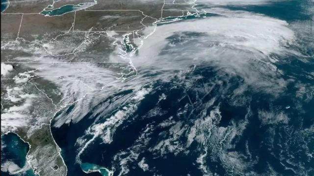
According to the National Weather Service, March has been a busy month for weather. This weekend could be even busier, with strong storms possible.
Here’s what weather experts say about what will happen on Sunday.
Storms will come after warmer and wetter weather
It will get five to fifteen degrees warmer than usual for this time of year in the Tri-State area on Thursday and Friday.
And the chances of rain will go up as the temperature goes up. Both days, rain will fall in the area because of a surface low pressure area over the southern Great Plains and a warm front that goes with it.
Thursday’s high will be 65 degrees, and Friday’s could be 75 degrees.
Saturday night and Sunday are the main days to worry about
On Sunday, weather forecasters at the National Weather Service office in Paducah, Kentucky, said that “model guidance is coming into better agreement about a potentially impactful severe weather event.”
These climatic factors will come together: the warmer air we talked about earlier, a surface low pressure area that gets deeper, strong winds in the sky, and moisture from the south moving into the area.
The first round of thunderstorms could happen Saturday night, and the second, stronger round could happen Sunday afternoon and evening before a cold front.
What kinds of bad weather are likely to happen?
Our weather service warned that “all hazards of severe weather look possible.” In other words, storms, big hail, and strong winds.
Will the predictions change?
Almost certainly. Experts say that it’s hard to say for sure when and how bad it will be this far out, so you should check the weather every day for updates.
