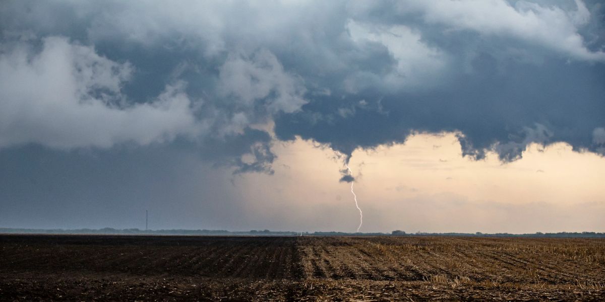
Central Illinois is bracing for a stormy weekend as a series of weather disturbances bring the potential for damaging winds, heavy rain, and possibly isolated tornadoes. The unsettled weather is expected to continue into early next week, followed by a surge of oppressive heat.
Key Weather Highlights
- Two rounds of storms likely Saturday
- Damaging winds are the primary concern
- Isolated tornadoes and flash flooding possible
- Storm activity continues through Tuesday
- Dangerous heat expected by midweek
The NOAA Storm Prediction Center has placed all of northern and central Illinois under a severe weather threat, citing damaging wind as the leading hazard. While a complete weekend washout is not expected, multiple rounds of storms will interrupt otherwise dry periods.

Storm Timing and Threats
Current forecasts suggest the first round of thunderstorms could arrive Saturday morning into early afternoon, bringing damaging wind gusts and heavy rain. A lull is likely in the afternoon hours, but another round of severe storms could develop later Saturday evening, though timing and exact location remain uncertain.
Storms will linger through Tuesday, with rainfall totals generally expected to reach 1 to 3 inches, though localized areas could see significantly higher amounts. Flash flooding may occur in areas that experience repeated downpours.
Excessive Heat to Follow

Once the stormy pattern begins to taper off midweek, temperatures will rise sharply. Highs will climb into the 90s, with heat index values possibly exceeding 110 degrees due to high humidity levels. The extreme heat could pose health risks, especially to vulnerable populations without access to cooling.
What to Watch For
- Stay weather-aware through the weekend, particularly during the morning and evening hours on Saturday.
- Monitor flood-prone areas for rising water.
- Prepare for rapid temperature increases starting midweek.
- Stay hydrated and avoid prolonged outdoor activity during peak heat.
Residents are encouraged to keep up with the latest local forecasts, alerts from the National Weather Service, and be ready to act if severe weather warnings are issued.