LOS ANGELES: According to the National Weather Service, two storms are coming to Southern California in the next few days and will dump a lot of rain on the area.
Timetable
According to the National Weather Service, Southern California will have one more sunny day with above-normal temperatures on Monday. Then, for most of next week, storms will bring more rain, mountain snow, and colder temperatures.
The NWS said that light showers could happen late Monday night or early Tuesday. The rain should be less than a quarter inch, but could be up to a half inch in southern LA County.

After this first system on Tuesday, a second system that is much stronger will arrive by Wednesday morning.
“Models have remained consistent, showing the strongest part of the storm coming through Wednesday night into early Thursday,” the NWS stated. “Still looking roughly 75% of the total rain from this system falling during that peak period.”
Some shallow debris flows could happen in places that have recently been burned. The chances of this happening will rise if thunderstorms happen, which is expected to happen late Wednesday or early Thursday.
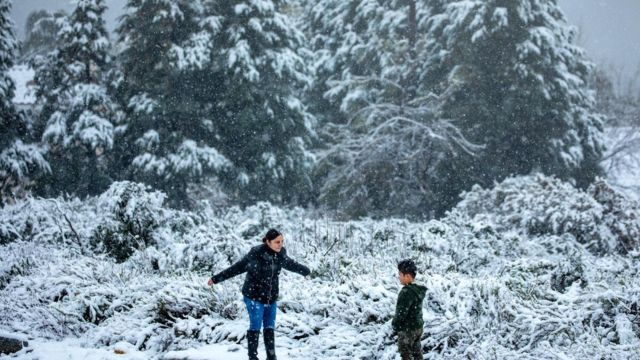
Levels of snow
The highest point of the snow during the storm will likely be between 6,000 and 7,000 feet until early Thursday morning. However, as colder air moves in on Thursday, the snow level is expected to drop to around 3,000 feet.

“It will be a more showery pattern at that point with moderate west to northwest flow aloft but it’s a favorable set up for at least some light accumulating snow across places that don’t often see snow, including the sans Lucias, the Santa Ynez Range, and possible even the Santa Monicas,” the NWS stated.
The NWS says this means that trips on I-5 through the Grapevine are likely to get snowy and could be hampered.