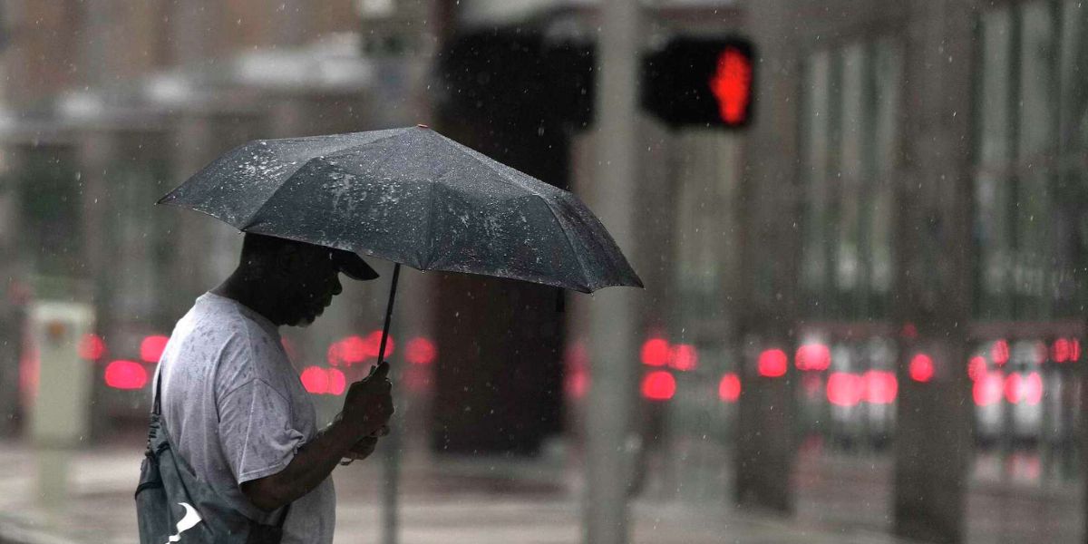
While Invest 93-L has failed to organize into a tropical system, it is still expected to bring rounds of heavy rainfall and thunderstorms to parts of Louisiana and Southeast Texas through the weekend. The National Hurricane Center gives the disturbance a minimal chance of development, but its rainmaking potential remains significant.
What to Expect
-
Today (Thursday): Mostly cloudy and hot across the Houston area, with highs in the mid 90s and a slight chance of isolated showers.
-
Friday: Scattered storms likely as moisture from the disturbance pushes into Texas. Even without official development, the system will drive showers across Southeast Texas and Louisiana.

-
Saturday: A few early morning storms possible, especially in areas east of Houston. Skies begin to clear by afternoon.
-
Sunday through Next Weekend: A strong ridge of high pressure builds over the region, ushering in a prolonged stretch of hot and dry weather. Expect mostly sunny skies and highs in the mid to upper 90s. Houston may flirt with triple-digit heat for the first time this year.
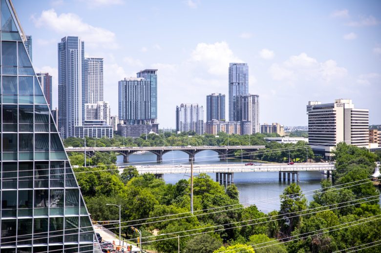
Central Texas & Hill Country
-
Drying Out: Central Texas and the Hill Country will see several days of sunshine and dry weather.
-
Warming Up: Highs will stay in the mid 90s through the weekend, with the potential to hit 100° early next week.

-
No Rain in Sight: Rain chances look slim for at least the next 7–10 days.
With the incoming heat dome building over the central U.S., forecasters urge residents to prepare for hotter-than-average conditions next week and to take precautions against heat-related illnesses.